
HAT-110
Auto-Tracking Antenna
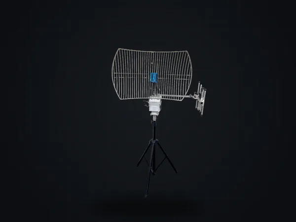
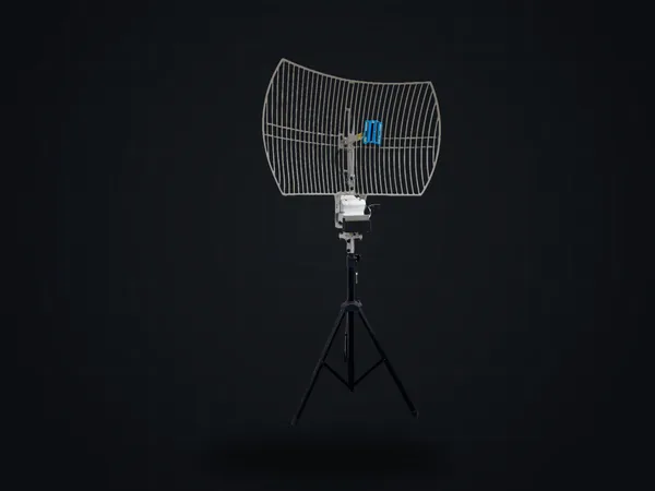
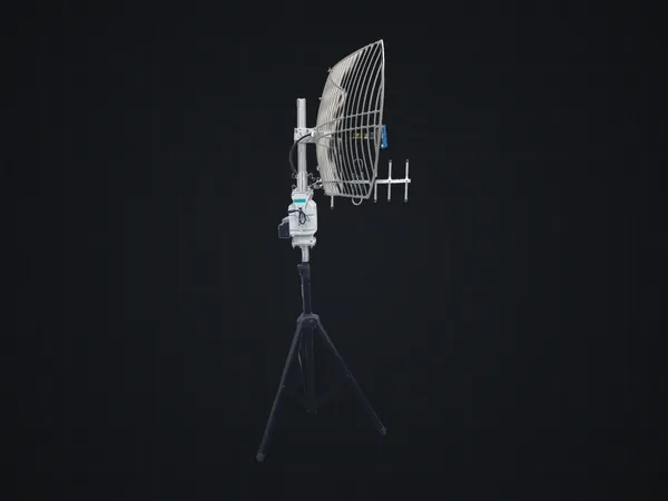
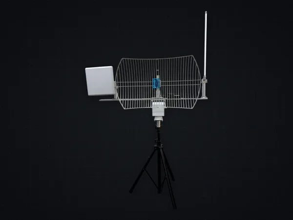
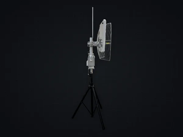
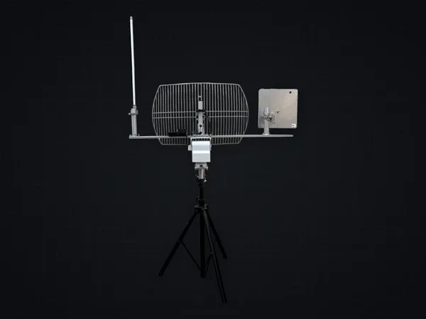
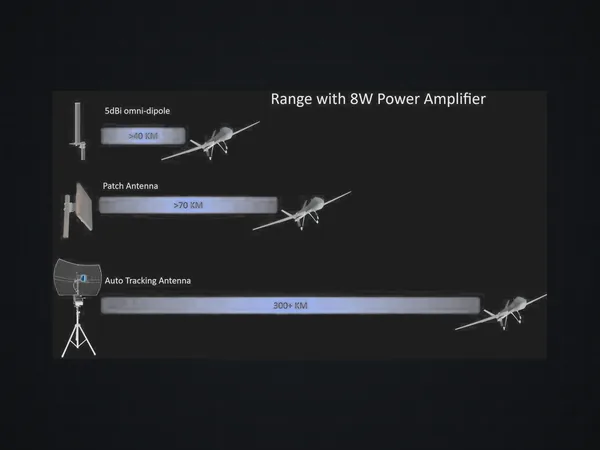
The HAT-110 is a ground-station auto-tracking antenna that parses MAVLink packets from the remote UAV or USV to steer azimuth and elevation automatically, with a maximum tracking range beyond 300 km, continuous 0–360° pan, 0–90° tilt and a 10 kg antenna payload. Built-in RTK-based north finding simplifies deployment and keeps tracking accurate even from a mobile ground station, working alongside the FV-800 and ETL-210A transceivers. Its control board is designed and built by HiDes in Taiwan.
1/7
- Max tracking range
- >300 km
- Continuous pan
- 360°
- Max antenna payload
- 10 kg
- Auto north-finding
- RTK
System features
- 01 Parses MAVLink packets; automatic azimuth/elevation steering
- 02 Built-in RTK auto north-finding — deploy from mobile ground stations
- 03 MAVLink / UDP / HTTP controller protocols
- 04 Stepping-motor drive system (Oriental Motor, Japan)
[ Auto-tracking ]
The target moves. The antenna follows.
A long-range link depends on a directional antenna, so a moving target has to be re-acquired continuously. The HAT-110 parses MAVLink packets from the remote UAV or USV and steers itself — 0–360° continuous pan, 0–90° tilt, with no operator input.
- Azimuth
- 17.0°
- Elevation
- 22.0°
- Status
- Locked


[ Deployment ]
Set it down and it tracks. No north to find first.
A tracking antenna has to know which way it is facing before it can steer. The HAT-110 finds that heading itself, from RTK, as soon as it is set up — no manual alignment. The reference comes from satellites rather than from the platform, so a ground station mounted on a vehicle or a boat keeps a valid bearing even as the platform turns.


[ System ]
The antenna is one end of a link
The HAT-110 keeps the ground station pointed at the vehicle. The link itself is carried by an FV-800 or an ETL-210A: the antenna reads MAVLink and decides where to point, the transceiver moves the video and the data. Together they are one long-range link.

- Airborne
- FV-800 / ETL-210A
- Video + C2 data

- Ground
- HAT-110 + ETL-210A
- Tracking antenna + transceiver
HAT-110
Specifications
Specifications
- Interface
- RJ-45 (4-pin) · power 4-pin (up to 3 A) · spare 4-pin
- Power
- 24 V DC · peak 2.31 A (56 W)
- Coverage
- Pan 0–360° continuous · tilt 0–90°
- Speed
- Pan >25°/s · tilt >15°/s
- Torque
- > 3 kgf·m
- Max payload
- 10 kg
- Max tracking range
- > 300 km
- Weight
- < 7 kg (w/o antenna & tripod)
- Operating temp.
- −10 °C ~ 60 °C
https://hides.com.tw/en/products/hat-110/ · +886-2-2917-2417 · info@hides.com.tw